Stanley Road Playing Fields
Introduction
The photograph on this page of Stanley Road Playing Fields by Martin Addison as part of the Geograph project.
The Geograph project started in 2005 with the aim of publishing, organising and preserving representative images for every square kilometre of Great Britain, Ireland and the Isle of Man.

There are currently over 7.5m images from over 14,400 individuals and you can help contribute to the project by visiting https://www.geograph.org.uk
Stanley Road Playing Fields
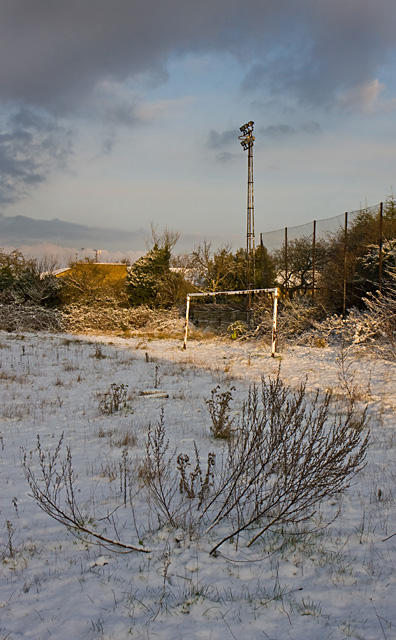
Image: © Martin Addison Taken: 18 Dec 2009
Snow and the dried stems of last year's dock flowers underline the abandoned nature of this place as the battle continues to retain it as a sports venue for the local residents.
Images are licensed for reuse under creativecommons.org/licenses/by-sa/2.0
Image Location
Latitude
51.591921
Longitude
-0.169525