Sebden multi-hazard area
Introduction
The photograph on this page of Sebden multi-hazard area by Jaggery as part of the Geograph project.
The Geograph project started in 2005 with the aim of publishing, organising and preserving representative images for every square kilometre of Great Britain, Ireland and the Isle of Man.

There are currently over 7.5m images from over 14,400 individuals and you can help contribute to the project by visiting https://www.geograph.org.uk
Sebden multi-hazard area
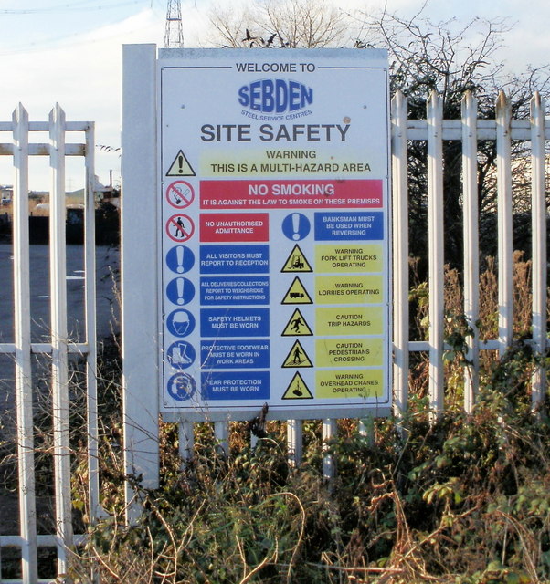
Image: © Jaggery Taken: 18 Dec 2009
A list of the potential hazards for, and precautions to be taken by, visitors to the Sebden site. http://www.geograph.org.uk/photo/1626426
Images are licensed for reuse under creativecommons.org/licenses/by-sa/2.0
Image Location
Latitude
51.567891
Longitude
-2.978154