Closer view of the snow-covered Dog Kennel Hill
Introduction
The photograph on this page of Closer view of the snow-covered Dog Kennel Hill by Robert Lamb as part of the Geograph project.
The Geograph project started in 2005 with the aim of publishing, organising and preserving representative images for every square kilometre of Great Britain, Ireland and the Isle of Man.

There are currently over 7.5m images from over 14,400 individuals and you can help contribute to the project by visiting https://www.geograph.org.uk
Closer view of the snow-covered Dog Kennel Hill
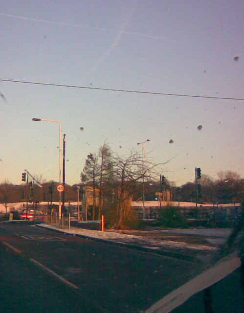
Image: © Robert Lamb Taken: 19 Dec 2009
Sorry if this doesn't qualify to be a Geograph - I've had to crop this image a fair bit as my dad didn't realise I was taking the photo and started washing his windscreen, hence the splashes on the image. It's a closer view of the snowy Dog Kennel Hill, taken looking east-northeast from the junction of Fowler Road and Whalebone Lane.
Images are licensed for reuse under creativecommons.org/licenses/by-sa/2.0
Image Location
Latitude
51.611943
Longitude
0.132746