Road near the farm buildings
Introduction
The photograph on this page of Road near the farm buildings by Ian Paterson as part of the Geograph project.
The Geograph project started in 2005 with the aim of publishing, organising and preserving representative images for every square kilometre of Great Britain, Ireland and the Isle of Man.

There are currently over 7.5m images from over 14,400 individuals and you can help contribute to the project by visiting https://www.geograph.org.uk
Road near the farm buildings
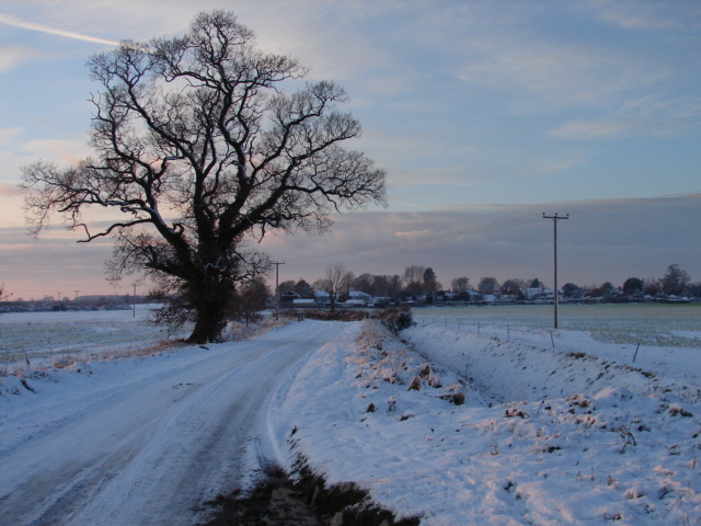
Image: © Ian Paterson Taken: 19 Dec 2009
Approaching Silk Willoughby from the east along Gorse Lane near the farm buildings Image
Images are licensed for reuse under creativecommons.org/licenses/by-sa/2.0
Image Location
Latitude
52.969739
Longitude
-0.422311