Leigham Court Road (3)
Introduction
The photograph on this page of Leigham Court Road (3) by Stephen Richards as part of the Geograph project.
The Geograph project started in 2005 with the aim of publishing, organising and preserving representative images for every square kilometre of Great Britain, Ireland and the Isle of Man.

There are currently over 7.5m images from over 14,400 individuals and you can help contribute to the project by visiting https://www.geograph.org.uk
Leigham Court Road (3)
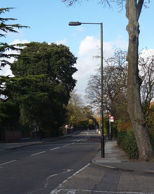
Image: © Stephen Richards Taken: Unknown
Looking north from the junction with Leaf Grove. This is pretty much the reverse of this view: Image The road is named after Leigham Court, a large house which was demolished in 1908. This stretch of the road is within the Leigham Court Road (South) Conservation Area due to its remaining mature trees and general landscaping which mean it has retained “much of its original arcadian character.” Information from Lambeth Council (http://www.lambeth.gov.uk/NR/exeres/CE4B5CE1-0387-40ED-B5A9-273A5160C34A.htm )
Images are licensed for reuse under creativecommons.org/licenses/by-sa/2.0
Image Location
Latitude
51.427332
Longitude
-0.114514