Creasys Drive, Crawley
Introduction
The photograph on this page of Creasys Drive, Crawley by Robin Webster as part of the Geograph project.
The Geograph project started in 2005 with the aim of publishing, organising and preserving representative images for every square kilometre of Great Britain, Ireland and the Isle of Man.

There are currently over 7.5m images from over 14,400 individuals and you can help contribute to the project by visiting https://www.geograph.org.uk
Creasys Drive, Crawley
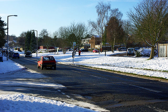
Image: © Robin Webster Taken: 19 Dec 2009
This area of Crawley is one of the newer developments, so nearly all roads are laid out with modern thinking. However, no thought seems to have been given to snow and ice. Many side turnings, where all the housing is, are up or down rises, making getting out or getting in hazardous and sometimes impossible, as they are never salted like the main routes.
Images are licensed for reuse under creativecommons.org/licenses/by-sa/2.0
Image Location
Latitude
51.09285
Longitude
-0.203553