Coronation Park, Newport
Introduction
The photograph on this page of Coronation Park, Newport by Jaggery as part of the Geograph project.
The Geograph project started in 2005 with the aim of publishing, organising and preserving representative images for every square kilometre of Great Britain, Ireland and the Isle of Man.

There are currently over 7.5m images from over 14,400 individuals and you can help contribute to the project by visiting https://www.geograph.org.uk
Coronation Park, Newport
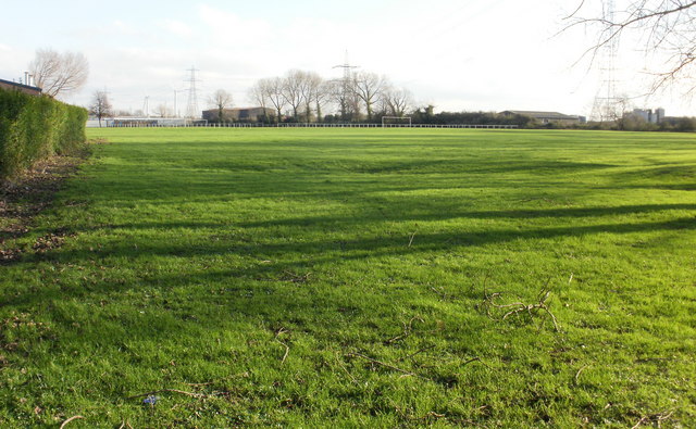
Image: © Jaggery Taken: 18 Dec 2009
In its heyday, Coronation Park was a popular venue for residents of Pill, a short Transporter Bridge ride away, across the River Usk. While the bridge is closed for restoration work, Pill residents would need to make a trip of several miles, via Corporation Road and Stephenson Street, to visit the park. There are no houses adjacent to Coronation Park, only offices and industrial premises, which explains the absence of human activity here (apart from the photographer!). The view is from the northwest corner of the park, adjacent to the Transporter Bridge.
Images are licensed for reuse under creativecommons.org/licenses/by-sa/2.0
Image Location
Latitude
51.56879
Longitude
-2.978173