
Varndean College
Introduction
The photograph on this page of Varndean College by Simon Carey as part of the Geograph project.
The Geograph project started in 2005 with the aim of publishing, organising and preserving representative images for every square kilometre of Great Britain, Ireland and the Isle of Man.

There are currently over 7.5m images from over 14,400 individuals and you can help contribute to the project by visiting https://www.geograph.org.uk
Varndean College
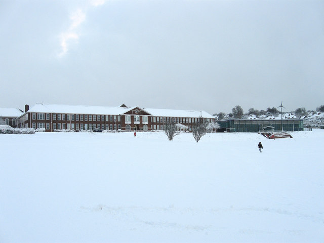
Image: © Simon Carey Taken: 18 Dec 2009
The original building on the left opened as a boys girl in 1932 to complement the neighbouring girls school, now Varndean Secondary School, opened the previous year. This remained the state of affairs until 1972 when girls were admitted but lasted only for three years when a reorganisation of schools turned this into a sixth form college and the old girls school into a mixed comprehensive. Three other schools, Dorothy Stringer High School, Balfour Juniors and Balfour Infans, are also nearby, a legacy of the old municipal education committee purchasing the land from Varndean Farm in 1909. The college also has its own wind turbine next to the modern extension which is just visible through the blanket of snow that appeared overnight.
Images are licensed for reuse under creativecommons.org/licenses/by-sa/2.0
Image Location

Latitude
50.851522
Longitude
-0.143511