The Old Post House, Topcliffe
Introduction
The photograph on this page of The Old Post House, Topcliffe by Gordon Hatton as part of the Geograph project.
The Geograph project started in 2005 with the aim of publishing, organising and preserving representative images for every square kilometre of Great Britain, Ireland and the Isle of Man.

There are currently over 7.5m images from over 14,400 individuals and you can help contribute to the project by visiting https://www.geograph.org.uk
The Old Post House, Topcliffe
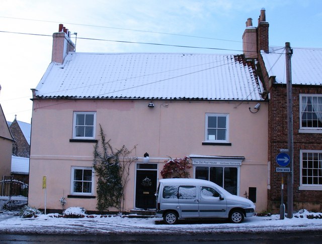
Image: © Gordon Hatton Taken: 18 Dec 2009
An 18th century house on Front Street and marked as the village post office on the 1911 map.
Images are licensed for reuse under creativecommons.org/licenses/by-sa/2.0
Image Location


Leaflet Map data © OpenStreetMap
Latitude
54.178948
Longitude
-1.388042