Surrenden Crescent
Introduction
The photograph on this page of Surrenden Crescent by Simon Carey as part of the Geograph project.
The Geograph project started in 2005 with the aim of publishing, organising and preserving representative images for every square kilometre of Great Britain, Ireland and the Isle of Man.

There are currently over 7.5m images from over 14,400 individuals and you can help contribute to the project by visiting https://www.geograph.org.uk
Surrenden Crescent
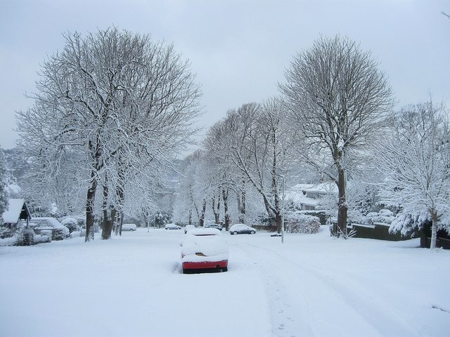
Image: © Simon Carey Taken: 18 Dec 2009
Looking southwards as the residential road heads down the hill from Surrenden Road towards London Road. Much of the road was developed through the 1920s and 30s and is blanketed with snow that began settling at 11.30pm the previous night and only stopped a few minutes before this image was taken.
Images are licensed for reuse under creativecommons.org/licenses/by-sa/2.0
Image Location
Latitude
50.853037
Longitude
-0.148281