Lamel Street
Introduction
The photograph on this page of Lamel Street by DS Pugh as part of the Geograph project.
The Geograph project started in 2005 with the aim of publishing, organising and preserving representative images for every square kilometre of Great Britain, Ireland and the Isle of Man.

There are currently over 7.5m images from over 14,400 individuals and you can help contribute to the project by visiting https://www.geograph.org.uk
Lamel Street
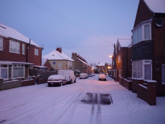
Image: © DS Pugh Taken: 18 Dec 2009
One of the streets between Thief Lane and Hull Road. This street is blocked off at the Hull Road end to prevent through traffic. The Co-op is on the right at the bottom of the road.
Images are licensed for reuse under creativecommons.org/licenses/by-sa/2.0
Image Location


Leaflet Map data © OpenStreetMap
Latitude
53.953076
Longitude
-1.053668