Field path from Mansfield to the River Tees
Introduction
The photograph on this page of Field path from Mansfield to the River Tees by Philip Barker as part of the Geograph project.
The Geograph project started in 2005 with the aim of publishing, organising and preserving representative images for every square kilometre of Great Britain, Ireland and the Isle of Man.

There are currently over 7.5m images from over 14,400 individuals and you can help contribute to the project by visiting https://www.geograph.org.uk
Field path from Mansfield to the River Tees
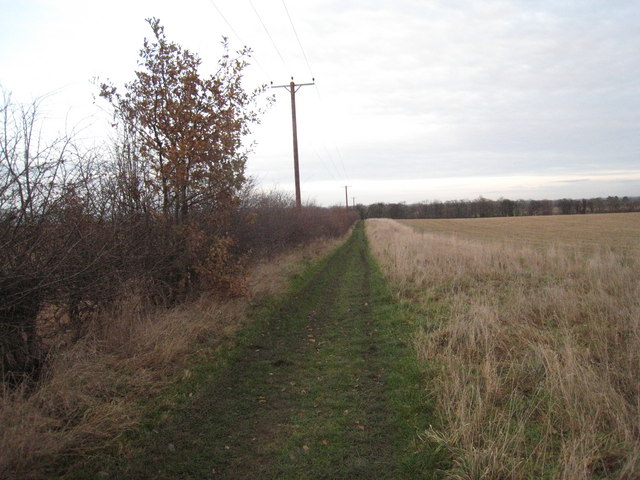
Image: © Philip Barker Taken: 13 Dec 2009
This photograph shows a section of the field track and footpath that runs in a north-north-easterly direction from Mansfield to the River Tees - which lies just beyond the trees seen on the horizon.
Images are licensed for reuse under creativecommons.org/licenses/by-sa/2.0
Image Location
Latitude
54.524223
Longitude
-1.657441