Farm track and footpath through Brettanby Farm
Introduction
The photograph on this page of Farm track and footpath through Brettanby Farm by Philip Barker as part of the Geograph project.
The Geograph project started in 2005 with the aim of publishing, organising and preserving representative images for every square kilometre of Great Britain, Ireland and the Isle of Man.

There are currently over 7.5m images from over 14,400 individuals and you can help contribute to the project by visiting https://www.geograph.org.uk
Farm track and footpath through Brettanby Farm
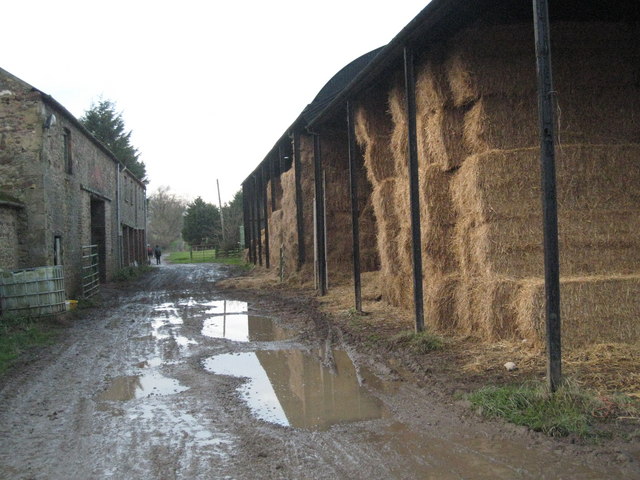
Image: © Philip Barker Taken: 13 Dec 2009
This photograph shows the route of the public footpath that passes through Brettanby Farm (see here: Image ). The picture was taken from the track/footpath looking in a north-north-easterly direction towards New Wood.
Images are licensed for reuse under creativecommons.org/licenses/by-sa/2.0
Image Location
Latitude
54.488252
Longitude
-1.649406