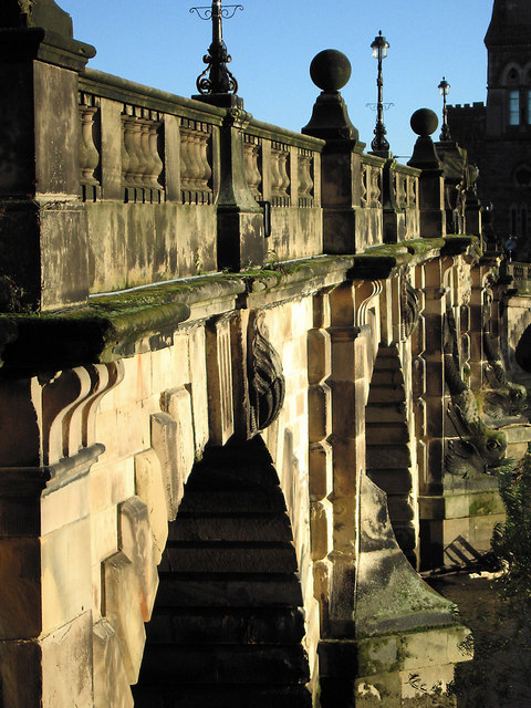
The English Bridge, Shrewsbury
Introduction
The photograph on this page of The English Bridge, Shrewsbury by Dave Croker as part of the Geograph project.
The Geograph project started in 2005 with the aim of publishing, organising and preserving representative images for every square kilometre of Great Britain, Ireland and the Isle of Man.
There are currently over 7.5m images from over 14,400 individuals and you can help contribute to the project by visiting https://www.geograph.org.uk

Image: © Dave Croker Taken: 17 Dec 2009
The original Bridge, thought to date back to the Norman era, became known as the Stone Bridge in medieval times. It had a huge gate tower and drawbridge, and a number of houses and shops. Following this bridges collapse in 1546, an 18th century replacement was built. This bridge was opened in 1774 but had two major problems making it unsuitable for modern traffic. Firstly it was too narrow and secondly it had a large hump in the middle. Originally this would have been designed to allow passing boats to pass underneath. In the 1920's it was taken down and the masonry was carefully numbered to be reused in the new structure. The Bridge was then rebuilt, with a less of a gradient, reducing the original gradient by five feet and increasing the width to 26ft.

