Weir on the Shawend Burn
Introduction
The photograph on this page of Weir on the Shawend Burn by Robert Murray as part of the Geograph project.
The Geograph project started in 2005 with the aim of publishing, organising and preserving representative images for every square kilometre of Great Britain, Ireland and the Isle of Man.

There are currently over 7.5m images from over 14,400 individuals and you can help contribute to the project by visiting https://www.geograph.org.uk
Weir on the Shawend Burn
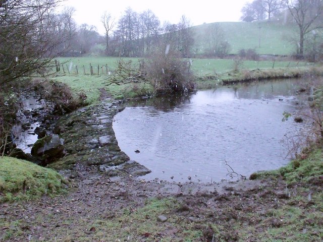
Image: © Robert Murray Taken: 17 Dec 2009
Before the weir was built in order to divert water to the canal feeder [just off to right of photo] and thence the Forth & Clyde Canal this burn flowed unimpeded round this meander and onward to meet Kelvin Water. On the upper reaches of this burn the O.S. have seen fit to name it the Banton Burn. See also http://www.geograph.org.uk/photo/1623000
Images are licensed for reuse under creativecommons.org/licenses/by-sa/2.0
Image Location
Latitude
55.975594
Longitude
-4.027086