Footpath around Beechwood Estate
Introduction
The photograph on this page of Footpath around Beechwood Estate by Lairich Rig as part of the Geograph project.
The Geograph project started in 2005 with the aim of publishing, organising and preserving representative images for every square kilometre of Great Britain, Ireland and the Isle of Man.

There are currently over 7.5m images from over 14,400 individuals and you can help contribute to the project by visiting https://www.geograph.org.uk
Footpath around Beechwood Estate
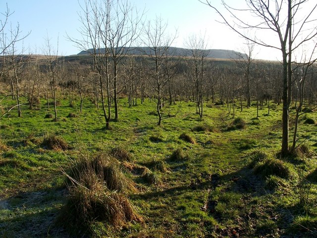
Image: © Lairich Rig Taken: 4 Dec 2009
The photo was taken from the same point as Image, but is a view in the opposite direction. In the distance, the far side of the steep-sided valley of the Murroch Burn is visible, crossing the background from left to right. Behind that, and filling only half of the width of the image, are the Lang Craigs, at a distance of 3 km: Image
Images are licensed for reuse under creativecommons.org/licenses/by-sa/2.0
Image Location
Latitude
55.972324
Longitude
-4.551311