Track to Highdykes Farm
Introduction
The photograph on this page of Track to Highdykes Farm by Lairich Rig as part of the Geograph project.
The Geograph project started in 2005 with the aim of publishing, organising and preserving representative images for every square kilometre of Great Britain, Ireland and the Isle of Man.

There are currently over 7.5m images from over 14,400 individuals and you can help contribute to the project by visiting https://www.geograph.org.uk
Track to Highdykes Farm
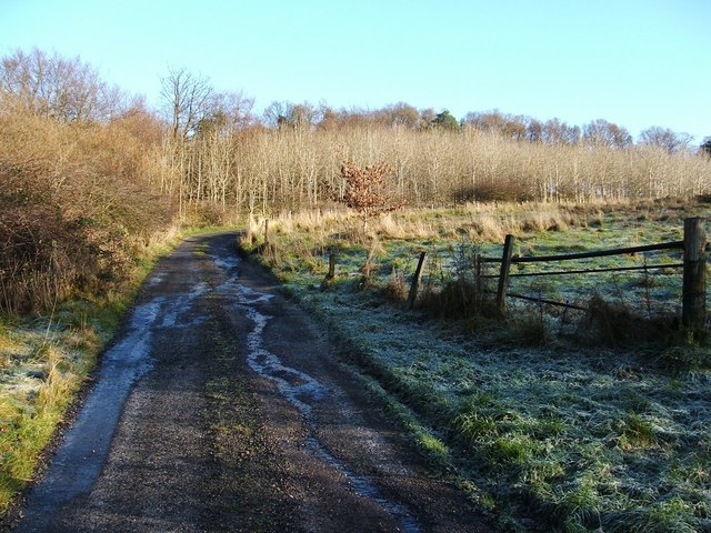
Image: © Lairich Rig Taken: 4 Dec 2009
The core path referred to in the end-note begins at this point, at the northern edge of Beechwood Estate (the area of housing indicated on the map); the route follows the track, which is a continuation of a road within the estate (Image). For view from further along this route, see Image, Image and Image, and, in the opposite direction, Image Just beyond the gate, a less distinct footpath leads off to the right (Image), heading parallel to the edge of the housing estate, but separated from it by a strip of woodland.
Images are licensed for reuse under creativecommons.org/licenses/by-sa/2.0
Image Location
Latitude
55.974246
Longitude
-4.554002