Thorntons Holt
Introduction
The photograph on this page of Thorntons Holt by Alan Murray-Rust as part of the Geograph project.
The Geograph project started in 2005 with the aim of publishing, organising and preserving representative images for every square kilometre of Great Britain, Ireland and the Isle of Man.

There are currently over 7.5m images from over 14,400 individuals and you can help contribute to the project by visiting https://www.geograph.org.uk
Thorntons Holt
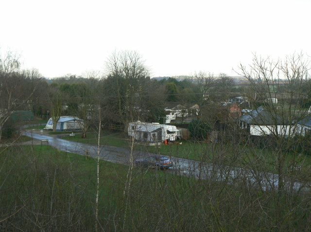
Image: © Alan Murray-Rust Taken: 13 Dec 2009
Caravan camping park near Cotgrave. Formerly this was an area of woodland, as the name indicates.
Images are licensed for reuse under creativecommons.org/licenses/by-sa/2.0
Image Location
Latitude
52.932569
Longitude
-1.053309