Cotgrave Country Park
Introduction
The photograph on this page of Cotgrave Country Park by Alan Murray-Rust as part of the Geograph project.
The Geograph project started in 2005 with the aim of publishing, organising and preserving representative images for every square kilometre of Great Britain, Ireland and the Isle of Man.

There are currently over 7.5m images from over 14,400 individuals and you can help contribute to the project by visiting https://www.geograph.org.uk
Cotgrave Country Park
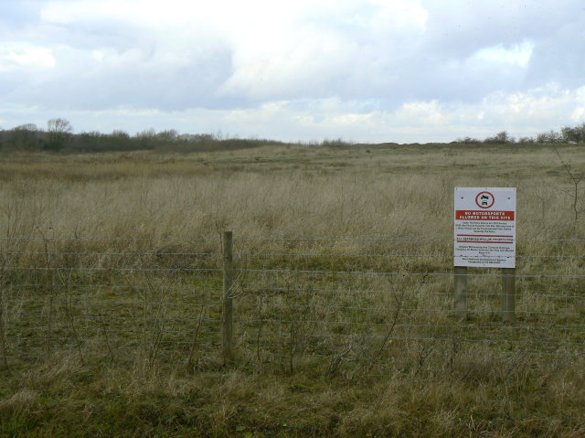
Image: © Alan Murray-Rust Taken: 13 Dec 2009
To a large extent this forms a thin belt round the main area of the old colliery, with the interior being out of bounds, as shown here.
Images are licensed for reuse under creativecommons.org/licenses/by-sa/2.0
Image Location
Latitude
52.91711
Longitude
-1.031338