Cycle path milepost, Pye Corner
Introduction
The photograph on this page of Cycle path milepost, Pye Corner by Robin Drayton as part of the Geograph project.
The Geograph project started in 2005 with the aim of publishing, organising and preserving representative images for every square kilometre of Great Britain, Ireland and the Isle of Man.

There are currently over 7.5m images from over 14,400 individuals and you can help contribute to the project by visiting https://www.geograph.org.uk
Cycle path milepost, Pye Corner
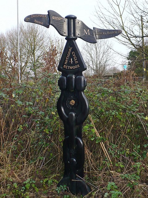
Image: © Robin Drayton Taken: 9 Dec 2009
This is a Rowe type milepost. To the left, Transporter Bridge 2m. To the right, Severn Bridge 21m.
Images are licensed for reuse under creativecommons.org/licenses/by-sa/2.0
Image Location
Latitude
51.560954
Longitude
-2.946845