Dorset Gliding Club
Introduction
The photograph on this page of Dorset Gliding Club by John Lamper as part of the Geograph project.
The Geograph project started in 2005 with the aim of publishing, organising and preserving representative images for every square kilometre of Great Britain, Ireland and the Isle of Man.

There are currently over 7.5m images from over 14,400 individuals and you can help contribute to the project by visiting https://www.geograph.org.uk
Dorset Gliding Club
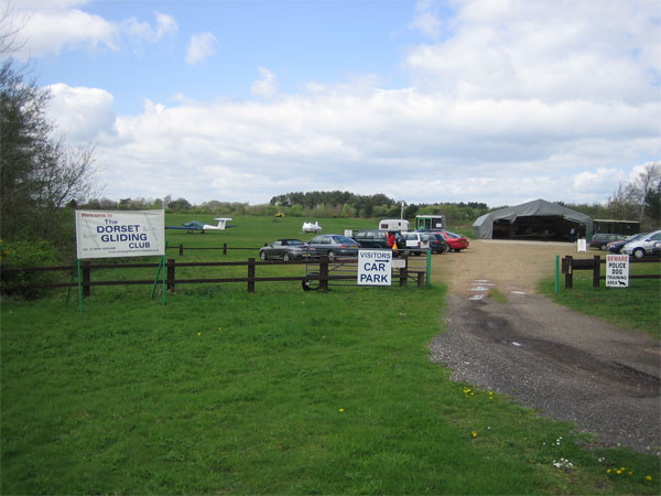
Image: © John Lamper Taken: 1 May 2006
The Club is located about half way between the towns of Bere Regis, on the A35, and Wool, on the A352. http://www.dorsetglidingclub.co.uk/
Images are licensed for reuse under creativecommons.org/licenses/by-sa/2.0
Image Location
Latitude
50.712343
Longitude
-2.218319