Badenheath, new bridge over Luggie Water
Introduction
The photograph on this page of Badenheath, new bridge over Luggie Water by Robert Murray as part of the Geograph project.
The Geograph project started in 2005 with the aim of publishing, organising and preserving representative images for every square kilometre of Great Britain, Ireland and the Isle of Man.

There are currently over 7.5m images from over 14,400 individuals and you can help contribute to the project by visiting https://www.geograph.org.uk
Badenheath, new bridge over Luggie Water
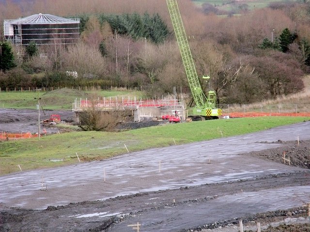
Image: © Robert Murray Taken: 16 Dec 2009
This will carry a new road to Westfield from the M73 and M80 when completed.
Images are licensed for reuse under creativecommons.org/licenses/by-sa/2.0
Image Location
Latitude
55.921792
Longitude
-4.073891