Rosehill Quarry recreation area
Introduction
The photograph on this page of Rosehill Quarry recreation area by Natasha Ceridwen de Chroustchoff as part of the Geograph project.
The Geograph project started in 2005 with the aim of publishing, organising and preserving representative images for every square kilometre of Great Britain, Ireland and the Isle of Man.

There are currently over 7.5m images from over 14,400 individuals and you can help contribute to the project by visiting https://www.geograph.org.uk
Rosehill Quarry recreation area
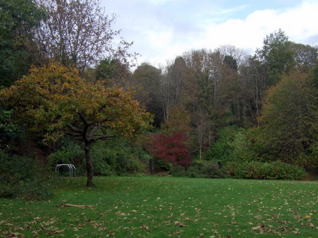
Image: © Natasha Ceridwen de Chroustchoff Taken: 21 Oct 2009
This part of the community park once held a popular tennis club. The flat area that remains is now used for group activities and for introducing ethnic minority groups to outdoor recreation; it also has some open-air exercise equipment.
Images are licensed for reuse under creativecommons.org/licenses/by-sa/2.0
Image Location
Latitude
51.623593
Longitude
-3.959105