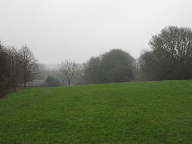
Former LMS trackbed near Newbold, Rugby
Introduction
The photograph on this page of Former LMS trackbed near Newbold, Rugby by Michael Westley as part of the Geograph project.
The Geograph project started in 2005 with the aim of publishing, organising and preserving representative images for every square kilometre of Great Britain, Ireland and the Isle of Man.
There are currently over 7.5m images from over 14,400 individuals and you can help contribute to the project by visiting https://www.geograph.org.uk

Image: © Michael Westley Taken: 14 Dec 2009
Filled in above the height of original railway line, the grassy area is now an area for public to walk on between industrial estate on Consul Road, and the housing estate of Yates Avenue and Norman Road. Between the break in trees on right, is the northern approach to Eleven Arches viaduct. In mist on left is the industrial estate across River Avon to west of current Rugby station.

