Gully from Quarry Close
Introduction
The photograph on this page of Gully from Quarry Close by Michael Westley as part of the Geograph project.
The Geograph project started in 2005 with the aim of publishing, organising and preserving representative images for every square kilometre of Great Britain, Ireland and the Isle of Man.

There are currently over 7.5m images from over 14,400 individuals and you can help contribute to the project by visiting https://www.geograph.org.uk
Gully from Quarry Close
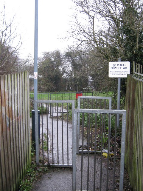
Image: © Michael Westley Taken: 14 Dec 2009
Looking toward land / former trackbed of railway running from Rugby to Newbold. Signpost indicates no right of way. Ahead, the path continues towards Glebe Farm Road and industrial estate. Grassy area is filled in cutting of route south of canal. When the railway existed, there was a bridge across the railway at this point (see sheet 73 at http://www.ponies.me.uk/maps/osmap.html )
Images are licensed for reuse under creativecommons.org/licenses/by-sa/2.0
Image Location
Latitude
52.388408
Longitude
-1.269385