Whiteshill village
Introduction
The photograph on this page of Whiteshill village by Vincent Jones as part of the Geograph project.
The Geograph project started in 2005 with the aim of publishing, organising and preserving representative images for every square kilometre of Great Britain, Ireland and the Isle of Man.

There are currently over 7.5m images from over 14,400 individuals and you can help contribute to the project by visiting https://www.geograph.org.uk
Whiteshill village
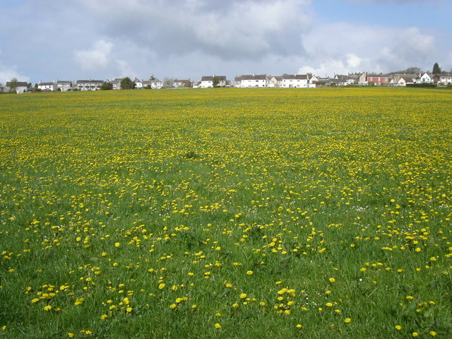
Image: © Vincent Jones Taken: 29 Apr 2006
Whiteshill village is 2Km north of Stroud. The Cotswold Way path is 1Km to the west in Standish woods.
Images are licensed for reuse under creativecommons.org/licenses/by-sa/2.0
Image Location
Latitude
51.762354
Longitude
-2.231785