Betteras Hill Road, near its junction with the A162
Introduction
The photograph on this page of Betteras Hill Road, near its junction with the A162 by Christine Johnstone as part of the Geograph project.
The Geograph project started in 2005 with the aim of publishing, organising and preserving representative images for every square kilometre of Great Britain, Ireland and the Isle of Man.

There are currently over 7.5m images from over 14,400 individuals and you can help contribute to the project by visiting https://www.geograph.org.uk
Betteras Hill Road, near its junction with the A162
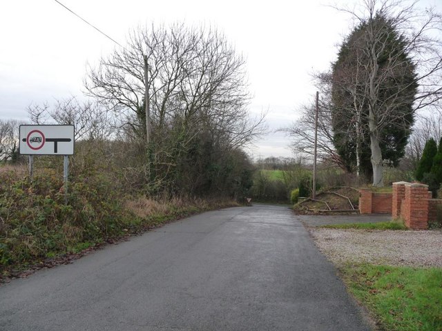
Image: © Christine Johnstone Taken: 8 Dec 2009
This road is well-named, as there is quite a drop to the T junction
Images are licensed for reuse under creativecommons.org/licenses/by-sa/2.0
Image Location
Latitude
53.756825
Longitude
-1.251924