Raised track, north side of sub-station
Introduction
The photograph on this page of Raised track, north side of sub-station by Christine Johnstone as part of the Geograph project.
The Geograph project started in 2005 with the aim of publishing, organising and preserving representative images for every square kilometre of Great Britain, Ireland and the Isle of Man.

There are currently over 7.5m images from over 14,400 individuals and you can help contribute to the project by visiting https://www.geograph.org.uk
Raised track, north side of sub-station
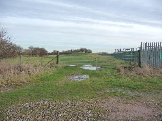
Image: © Christine Johnstone Taken: 8 Dec 2009
I thought this was a flood barrier, but I am assured that it is just spoil.
Images are licensed for reuse under creativecommons.org/licenses/by-sa/2.0
Image Location


Leaflet Map data © OpenStreetMap
Latitude
53.758177
Longitude
-1.267067