St Winifred's church, Manaton
Introduction
The photograph on this page of St Winifred's church, Manaton by Derek Harper as part of the Geograph project.
The Geograph project started in 2005 with the aim of publishing, organising and preserving representative images for every square kilometre of Great Britain, Ireland and the Isle of Man.

There are currently over 7.5m images from over 14,400 individuals and you can help contribute to the project by visiting https://www.geograph.org.uk
St Winifred's church, Manaton
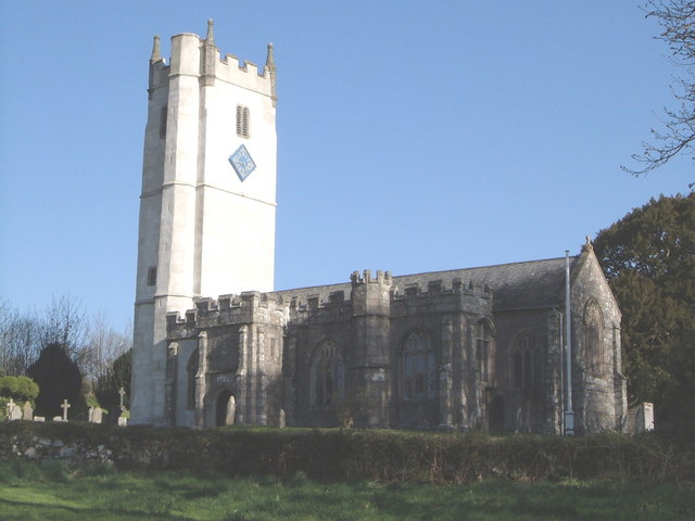
Image: © Derek Harper Taken: 1 May 2006
The pale tower makes this church a prominent landmark, and presents some exposure difficulties given the contrast with the embattled south side.
Images are licensed for reuse under creativecommons.org/licenses/by-sa/2.0
Image Location
Latitude
50.617054
Longitude
-3.769671