Caergwrle Station
Introduction
The photograph on this page of Caergwrle Station by Richard Hoare as part of the Geograph project.
The Geograph project started in 2005 with the aim of publishing, organising and preserving representative images for every square kilometre of Great Britain, Ireland and the Isle of Man.

There are currently over 7.5m images from over 14,400 individuals and you can help contribute to the project by visiting https://www.geograph.org.uk
Caergwrle Station
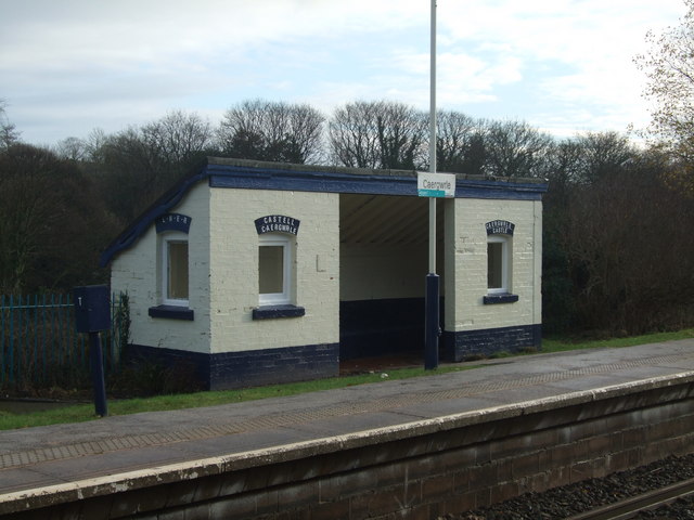
Image: © Richard Hoare Taken: 14 Dec 2009
Note the Welsh and English names (Castell Caergwrle and Caergwrle Castle) given to the original station. The shelter also bears the LNER signage. The few ruins of what was the final castle to be built by Welsh rulers before the loss of Welsh independence in 1283 can be found across the road.
Images are licensed for reuse under creativecommons.org/licenses/by-sa/2.0
Image Location


Leaflet Map data © OpenStreetMap
Latitude
53.107843
Longitude
-3.033002