Top Street, Elston
Introduction
The photograph on this page of Top Street, Elston by Alan Murray-Rust as part of the Geograph project.
The Geograph project started in 2005 with the aim of publishing, organising and preserving representative images for every square kilometre of Great Britain, Ireland and the Isle of Man.

There are currently over 7.5m images from over 14,400 individuals and you can help contribute to the project by visiting https://www.geograph.org.uk
Top Street, Elston
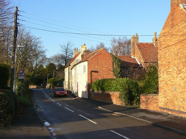
Image: © Alan Murray-Rust Taken: 10 Dec 2009
On the opposite side of the village to Low Street! The main streets of the village form a rough square, of which the north-western side (Pinfold Lane) was essentially undeveloped until modern times, with much of the interior square still open ground. Today the interior is almost completely built up, leaving only the recreation ground http://www.geograph.org.uk/photo/1620078 as open space.
Images are licensed for reuse under creativecommons.org/licenses/by-sa/2.0
Image Location
Latitude
53.022653
Longitude
-0.869003