Crossroads near Lime Kiln Farm
Introduction
The photograph on this page of Crossroads near Lime Kiln Farm by David Anstiss as part of the Geograph project.
The Geograph project started in 2005 with the aim of publishing, organising and preserving representative images for every square kilometre of Great Britain, Ireland and the Isle of Man.

There are currently over 7.5m images from over 14,400 individuals and you can help contribute to the project by visiting https://www.geograph.org.uk
Crossroads near Lime Kiln Farm
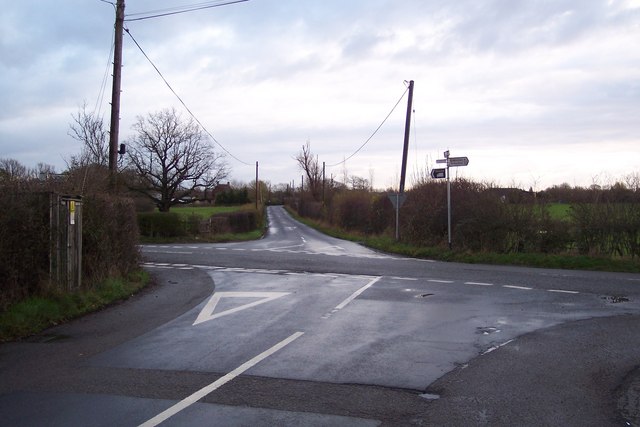
Image: © David Anstiss Taken: 13 Dec 2009
Snughorne Lane from Bell Lane leads forward to Tylden. Smarden Road heads right to Standen and the A262 Headcorn Road. The Cut heads left to Grigsby Farm and Burnthouse Lane. Lime Kiln Farm is in the background.
Images are licensed for reuse under creativecommons.org/licenses/by-sa/2.0
Image Location
Latitude
51.139954
Longitude
0.668767