Brown Rigg
Introduction
The photograph on this page of Brown Rigg by Mick Garratt as part of the Geograph project.
The Geograph project started in 2005 with the aim of publishing, organising and preserving representative images for every square kilometre of Great Britain, Ireland and the Isle of Man.

There are currently over 7.5m images from over 14,400 individuals and you can help contribute to the project by visiting https://www.geograph.org.uk
Brown Rigg
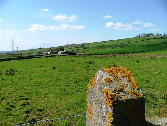
Image: © Mick Garratt Taken: 29 Apr 2006
View from the unclassified road to the farmstead mapped as Brown Rigg. Far right is another farm, Cranberry Brow.
Images are licensed for reuse under creativecommons.org/licenses/by-sa/2.0
Image Location


Leaflet Map data © OpenStreetMap
Latitude
54.98079
Longitude
-2.385902