Unclassified Road, Ramshawfield
Introduction
The photograph on this page of Unclassified Road, Ramshawfield by Mick Garratt as part of the Geograph project.
The Geograph project started in 2005 with the aim of publishing, organising and preserving representative images for every square kilometre of Great Britain, Ireland and the Isle of Man.

There are currently over 7.5m images from over 14,400 individuals and you can help contribute to the project by visiting https://www.geograph.org.uk
Unclassified Road, Ramshawfield
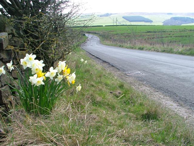
Image: © Mick Garratt Taken: 29 Apr 2006
Looking down the road into the South Tyne valley from the industrial buildings occupying the former colliery site at Ramshawfield.
Images are licensed for reuse under creativecommons.org/licenses/by-sa/2.0
Image Location
Latitude
54.975388
Longitude
-2.388975