The Old School Althorne
Introduction
The photograph on this page of The Old School Althorne by Glyn Baker as part of the Geograph project.
The Geograph project started in 2005 with the aim of publishing, organising and preserving representative images for every square kilometre of Great Britain, Ireland and the Isle of Man.

There are currently over 7.5m images from over 14,400 individuals and you can help contribute to the project by visiting https://www.geograph.org.uk
The Old School Althorne
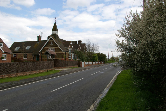
Image: © Glyn Baker Taken: 1 May 2006
The 1940’s map confirms this is the old School near Althorne. Quite why it was built so far outside the village is hard to imagine. The building is now housing.
Images are licensed for reuse under creativecommons.org/licenses/by-sa/2.0
Image Location


Leaflet Map data © OpenStreetMap
Latitude
51.662037
Longitude
0.78134