Cattle grid - Roborough Down
Introduction
The photograph on this page of Cattle grid - Roborough Down by Sarah Smith as part of the Geograph project.
The Geograph project started in 2005 with the aim of publishing, organising and preserving representative images for every square kilometre of Great Britain, Ireland and the Isle of Man.

There are currently over 7.5m images from over 14,400 individuals and you can help contribute to the project by visiting https://www.geograph.org.uk
Cattle grid - Roborough Down
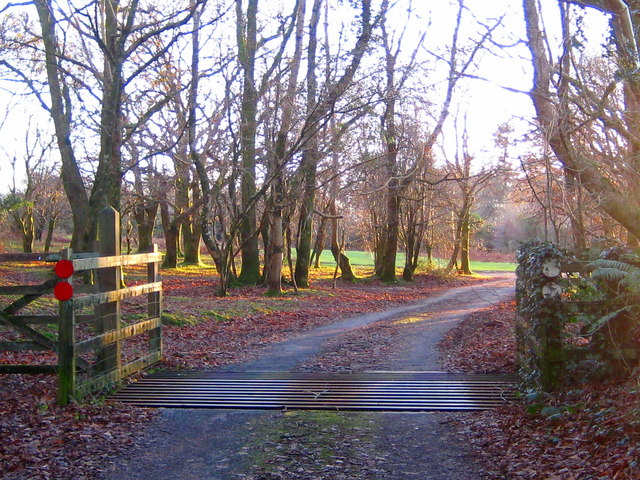
Image: © Sarah Smith Taken: 13 Dec 2009
Roborough Down being a thin slice of moorland and once part of Dartmoor is full of livestock and ponies which have to be kept off the busy A386 Plymouth road and the neighbouring lanes. In order to do this, all the vehicle access routes are crossed by cattlegrids at point of entry on to the Down.
Images are licensed for reuse under creativecommons.org/licenses/by-sa/2.0
Image Location


Leaflet Map data © OpenStreetMap
Latitude
50.471042
Longitude
-4.111879