Houses surrounding Roman View, Piercebridge
Introduction
The photograph on this page of Houses surrounding Roman View, Piercebridge by Philip Barker as part of the Geograph project.
The Geograph project started in 2005 with the aim of publishing, organising and preserving representative images for every square kilometre of Great Britain, Ireland and the Isle of Man.

There are currently over 7.5m images from over 14,400 individuals and you can help contribute to the project by visiting https://www.geograph.org.uk
Houses surrounding Roman View, Piercebridge
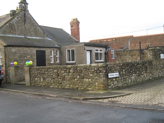
Image: © Philip Barker Taken: 13 Dec 2009
The abodes illustrated in this picture lie at the north-western end of the village of Piercebridge. Roman View is the 'cobbled' street on the right-hand side of the picture and the B6275 is depicted in the left-hand bottom corner. The Carlbury Arms lies just north of here ( Image ).
Images are licensed for reuse under creativecommons.org/licenses/by-sa/2.0
Image Location
Latitude
54.537783
Longitude
-1.676647