Higher Combe, Lustleigh
Introduction
The photograph on this page of Higher Combe, Lustleigh by Derek Harper as part of the Geograph project.
The Geograph project started in 2005 with the aim of publishing, organising and preserving representative images for every square kilometre of Great Britain, Ireland and the Isle of Man.

There are currently over 7.5m images from over 14,400 individuals and you can help contribute to the project by visiting https://www.geograph.org.uk
Higher Combe, Lustleigh
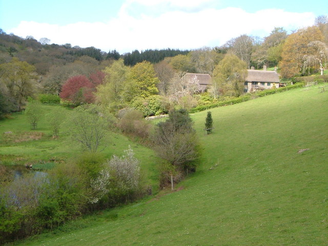
Image: © Derek Harper Taken: 1 May 2006
Thatched farmhouse and outbuildings on the side of a pretty valley above Lustleigh. Pond lower left.
Images are licensed for reuse under creativecommons.org/licenses/by-sa/2.0
Image Location
Latitude
50.628392
Longitude
-3.733334