The parish church of St Anta and All Saints Carbis Bay
Introduction
The photograph on this page of The parish church of St Anta and All Saints Carbis Bay by Rod Allday as part of the Geograph project.
The Geograph project started in 2005 with the aim of publishing, organising and preserving representative images for every square kilometre of Great Britain, Ireland and the Isle of Man.

There are currently over 7.5m images from over 14,400 individuals and you can help contribute to the project by visiting https://www.geograph.org.uk
The parish church of St Anta and All Saints Carbis Bay
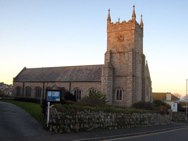
Image: © Rod Allday Taken: 12 Dec 2009
With December afternoon sun just catching the top of the tower.
Images are licensed for reuse under creativecommons.org/licenses/by-sa/2.0
Image Location
Latitude
50.194535
Longitude
-5.461539