Killinure Townland
Introduction
The photograph on this page of Killinure Townland by Dean Molyneaux as part of the Geograph project.
The Geograph project started in 2005 with the aim of publishing, organising and preserving representative images for every square kilometre of Great Britain, Ireland and the Isle of Man.

There are currently over 7.5m images from over 14,400 individuals and you can help contribute to the project by visiting https://www.geograph.org.uk
Killinure Townland
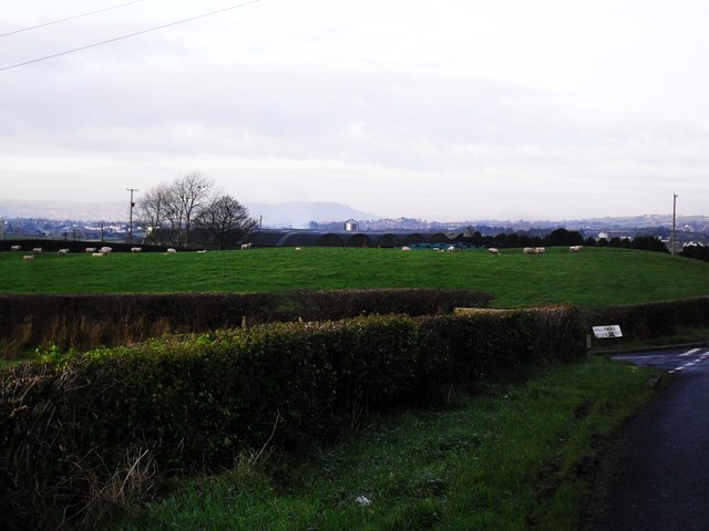
Image: © Dean Molyneaux Taken: 13 Dec 2009
A view towards Belfast with the distinct shape of Divis mountain visible in the distance. Taken from the Killynure Road, south of Carryduff - at the junction with Killynure Road West. Townland of Killinure.
Images are licensed for reuse under creativecommons.org/licenses/by-sa/2.0
Image Location
Latitude
54.494993
Longitude
-5.873814