18th Century Bridge at Castlecary
Introduction
The photograph on this page of 18th Century Bridge at Castlecary by Texas Radio and The Big Beat as part of the Geograph project.
The Geograph project started in 2005 with the aim of publishing, organising and preserving representative images for every square kilometre of Great Britain, Ireland and the Isle of Man.

There are currently over 7.5m images from over 14,400 individuals and you can help contribute to the project by visiting https://www.geograph.org.uk
18th Century Bridge at Castlecary
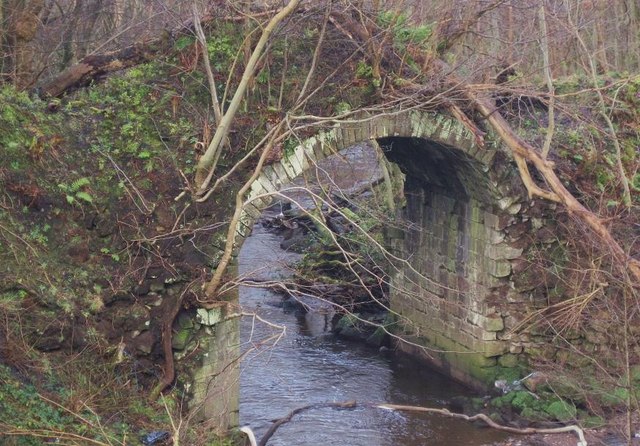
Image: © Texas Radio and The Big Beat Taken: 13 Dec 2009
C-listed bridge which crosses the Red Burn beneath Castlecary Viaduct. Recently saved from the bulldozers, it was going to be demolished as part of the A80 upgrading. The bridge is on the line of an old toll road.
Images are licensed for reuse under creativecommons.org/licenses/by-sa/2.0
Image Location
Latitude
55.98149
Longitude
-3.945644