Humphrey Street
Introduction
The photograph on this page of Humphrey Street by Natasha Ceridwen de Chroustchoff as part of the Geograph project.
The Geograph project started in 2005 with the aim of publishing, organising and preserving representative images for every square kilometre of Great Britain, Ireland and the Isle of Man.

There are currently over 7.5m images from over 14,400 individuals and you can help contribute to the project by visiting https://www.geograph.org.uk
Humphrey Street
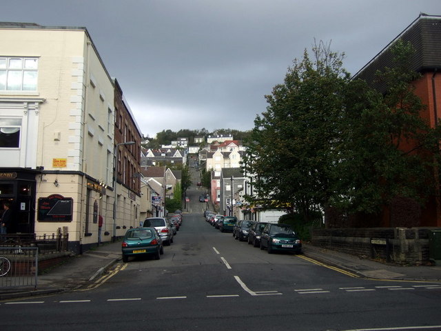
Image: © Natasha Ceridwen de Chroustchoff Taken: 21 Oct 2009
Looking north from Mansel Street up Humphrey Street towards Constitution Hill beyond. The pub on the left is The Tenby. This view can be compared with the old postcard here http://www.tramwayinfo.com/Tramframe.htm?http://www.tramwayinfo.com/Cards/Postc40.htm showing the cablecar tramway that briefly served the residents of Townhill at the end of the C19.
Images are licensed for reuse under creativecommons.org/licenses/by-sa/2.0
Image Location
Latitude
51.620603
Longitude
-3.955076