2009 : Village Green and stocks, Keevil
Introduction
The photograph on this page of 2009 : Village Green and stocks, Keevil by Maurice Pullin as part of the Geograph project.
The Geograph project started in 2005 with the aim of publishing, organising and preserving representative images for every square kilometre of Great Britain, Ireland and the Isle of Man.

There are currently over 7.5m images from over 14,400 individuals and you can help contribute to the project by visiting https://www.geograph.org.uk
2009 : Village Green and stocks, Keevil
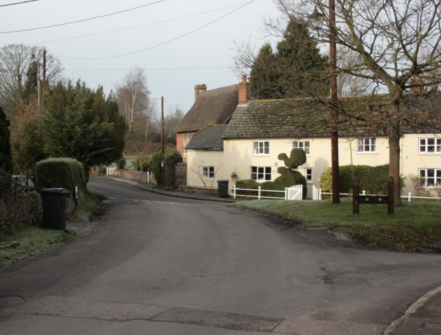
Image: © Maurice Pullin Taken: 1 Dec 2009
Showing the end of Martins Road and part of Main Street. "Keevil and Bulkington villages both stand on a minor road which winds across the parish from west to east, joining the Westbury-Melksham road to the road from Seend to West Lavington. Most of the houses in Keevil are built along this road, but branching to the south are Martin's Road and Pyatts, both of which contain houses of the 16th and 17th centuries." From: 'Keevil', A History of the County of Wiltshire: Volume 8: Warminster, Westbury and Whorwellsdown Hundreds (1965), pp. 250-263. URL: http://www.british-history.ac.uk/report.aspx?compid=16114 Date accessed: 13 December 2009.
Images are licensed for reuse under creativecommons.org/licenses/by-sa/2.0
Image Location
Latitude
51.321319
Longitude
-2.114034