Magdala Street, Belfast
Introduction
The photograph on this page of Magdala Street, Belfast by Albert Bridge as part of the Geograph project.
The Geograph project started in 2005 with the aim of publishing, organising and preserving representative images for every square kilometre of Great Britain, Ireland and the Isle of Man.

There are currently over 7.5m images from over 14,400 individuals and you can help contribute to the project by visiting https://www.geograph.org.uk
Magdala Street, Belfast
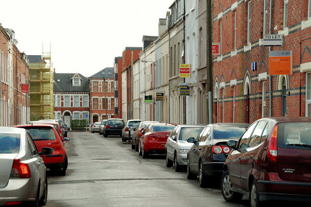
Image: © Albert Bridge Taken: 12 Dec 2009
A street of houses built in the late 19th century and once home to white-collar residents. Now at the heart of university “bedsit land”. This building Image is in the background (left).
Images are licensed for reuse under creativecommons.org/licenses/by-sa/2.0
Image Location
Latitude
54.585878
Longitude
-5.928178