Barnes Mill in early 1973
Introduction
The photograph on this page of Barnes Mill in early 1973 by Robin Webster as part of the Geograph project.
The Geograph project started in 2005 with the aim of publishing, organising and preserving representative images for every square kilometre of Great Britain, Ireland and the Isle of Man.

There are currently over 7.5m images from over 14,400 individuals and you can help contribute to the project by visiting https://www.geograph.org.uk
Barnes Mill in early 1973
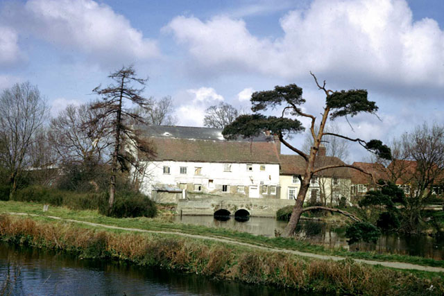
Image: © Robin Webster Taken: Unknown
Viewed from the other side of the Chelmer & Blackwater Navigation lock cut, which is the foreground water.
Images are licensed for reuse under creativecommons.org/licenses/by-sa/2.0
Image Location
Latitude
51.730606
Longitude
0.499656