Queens Head Ale House
Introduction
The photograph on this page of Queens Head Ale House by Chris Lordan as part of the Geograph project.
The Geograph project started in 2005 with the aim of publishing, organising and preserving representative images for every square kilometre of Great Britain, Ireland and the Isle of Man.

There are currently over 7.5m images from over 14,400 individuals and you can help contribute to the project by visiting https://www.geograph.org.uk
Queens Head Ale House
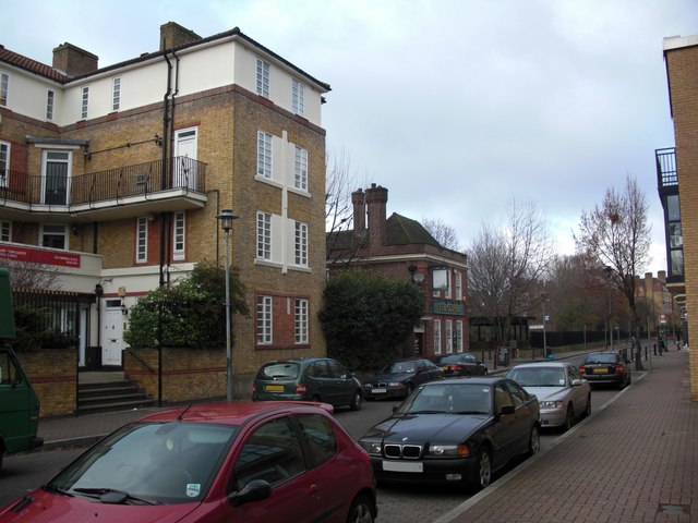
Image: © Chris Lordan Taken: 11 Dec 2009
This stood from 1743 until 1787 about 50 yards from today's 'Clipper' (centre of image). It was later named 'The George' and 'George Gin Shop'. The location is approximate :- the original 'Clipper' (when Ship) was 50 yards further east (right), so if it was 50 yards east of the original location it would make it where the bushes are : if 50 yards east of the present, it would make it at the left of the image. Main building shown is 'Timbrell Place'. http://www.geograph.org.uk/photo/1546265
Images are licensed for reuse under creativecommons.org/licenses/by-sa/2.0
Image Location
Latitude
51.503247
Longitude
-0.033429