Road junction at Tunnel Hill
Introduction
The photograph on this page of Road junction at Tunnel Hill by Trevor Rickard as part of the Geograph project.
The Geograph project started in 2005 with the aim of publishing, organising and preserving representative images for every square kilometre of Great Britain, Ireland and the Isle of Man.

There are currently over 7.5m images from over 14,400 individuals and you can help contribute to the project by visiting https://www.geograph.org.uk
Road junction at Tunnel Hill
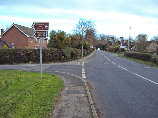
Image: © Trevor Rickard Taken: 4 Dec 2009
Looking east along the A4104 Welland Road. The road on the left is Greenfields, which leads to Clive's Fruit Farm and Tiltridge Vineyard a mile to the north.
Images are licensed for reuse under creativecommons.org/licenses/by-sa/2.0
Image Location
Latitude
52.057614
Longitude
-2.231416