Pillbox - St Athan
Introduction
The photograph on this page of Pillbox - St Athan by Mick Lobb as part of the Geograph project.
The Geograph project started in 2005 with the aim of publishing, organising and preserving representative images for every square kilometre of Great Britain, Ireland and the Isle of Man.

There are currently over 7.5m images from over 14,400 individuals and you can help contribute to the project by visiting https://www.geograph.org.uk
Pillbox - St Athan
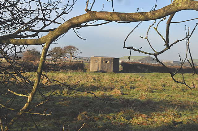
Image: © Mick Lobb Taken: 11 Dec 2009
Dating from World War 2, one of several defensive posts of the area surrounding the old airfield, hangars of which can be seen in the distance.
Images are licensed for reuse under creativecommons.org/licenses/by-sa/2.0
Image Location
Latitude
51.398691
Longitude
-3.420912