Approaching bend - Llantrithyd
Introduction
The photograph on this page of Approaching bend - Llantrithyd by Mick Lobb as part of the Geograph project.
The Geograph project started in 2005 with the aim of publishing, organising and preserving representative images for every square kilometre of Great Britain, Ireland and the Isle of Man.

There are currently over 7.5m images from over 14,400 individuals and you can help contribute to the project by visiting https://www.geograph.org.uk
Approaching bend - Llantrithyd
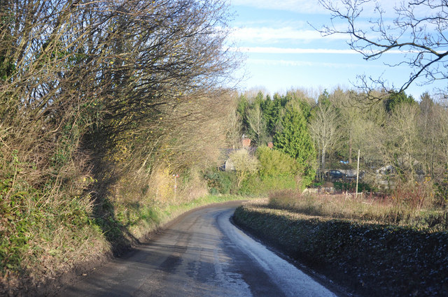
Image: © Mick Lobb Taken: 11 Dec 2009
The lane that passes through Llantrithyd is in regular use as a rat run to the A48 by those who live to the west of Llantwit Major and the town itself to reach the A48 and thence Cardiff. A journey not without its risks!
Images are licensed for reuse under creativecommons.org/licenses/by-sa/2.0
Image Location
Latitude
51.447647
Longitude
-3.376295