New A46 near Syerston
Introduction
The photograph on this page of New A46 near Syerston by Alan Murray-Rust as part of the Geograph project.
The Geograph project started in 2005 with the aim of publishing, organising and preserving representative images for every square kilometre of Great Britain, Ireland and the Isle of Man.

There are currently over 7.5m images from over 14,400 individuals and you can help contribute to the project by visiting https://www.geograph.org.uk
New A46 near Syerston
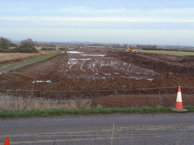
Image: © Alan Murray-Rust Taken: 8 Dec 2009
Looking towards Newark from the road into Syerston. At this point the new road diverges quite considerably from the old alignment, mainly to skirt the village of East Stoke and the scheduled ancient monument Roman site of Ad Pontem.
Images are licensed for reuse under creativecommons.org/licenses/by-sa/2.0
Image Location
Latitude
53.022598
Longitude
-0.891816